Hills on the map, and roads that find their towns
Devlog 11 ended with the land too flat up close, and the old rolling hills about to come back on top of the map. They did, along with wide roads between towns and a tidy of the code.
One ladder of heights
The map's height used to be worked out for coarse cells and blended between them, and where those cells met, square walls could stand. Now it is worked out at every block's own spot, so the map and the ground under your feet always agree.
On top of that, the ground is one ladder of heights. The map sets the big shapes at the top: continents, ranges, coasts. Below it come smaller rungs: the old rolling hills, rocky crags, and dunes in the desert. Each kind of land sets how strong each rung is, so grassland rolls gently, snowy and rocky land is rough, and the small rungs fade out near the coast.
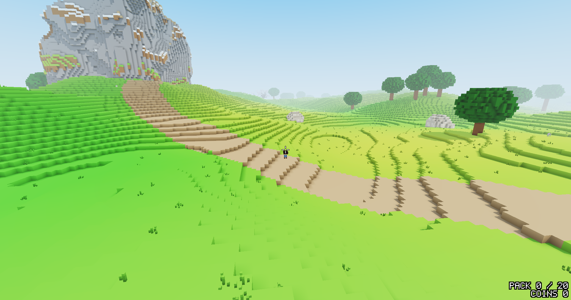
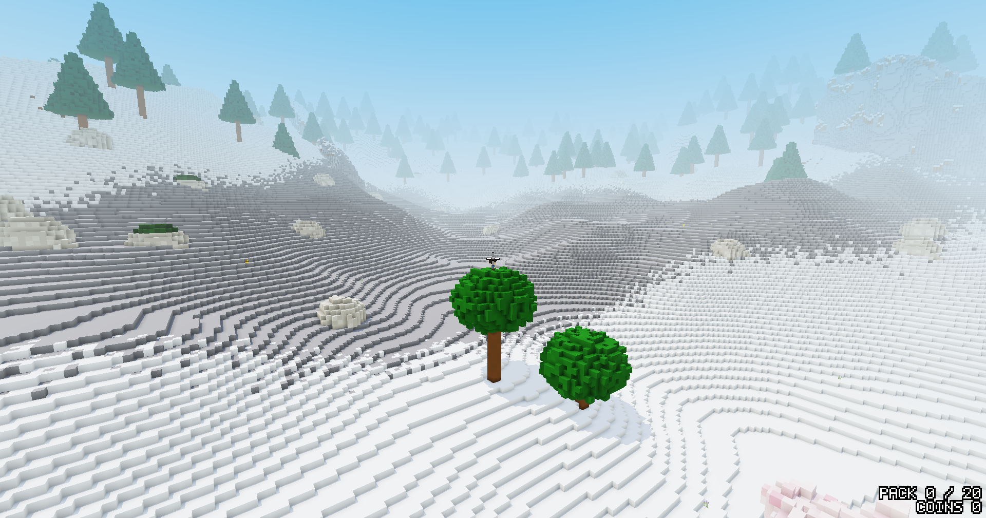
Lakes and rivers are switched off for now, in the world and on the map alike, so the map only shows what is really there. The patches of each kind of land are smaller too, so the land changes more often as you walk.
Roads that find their towns
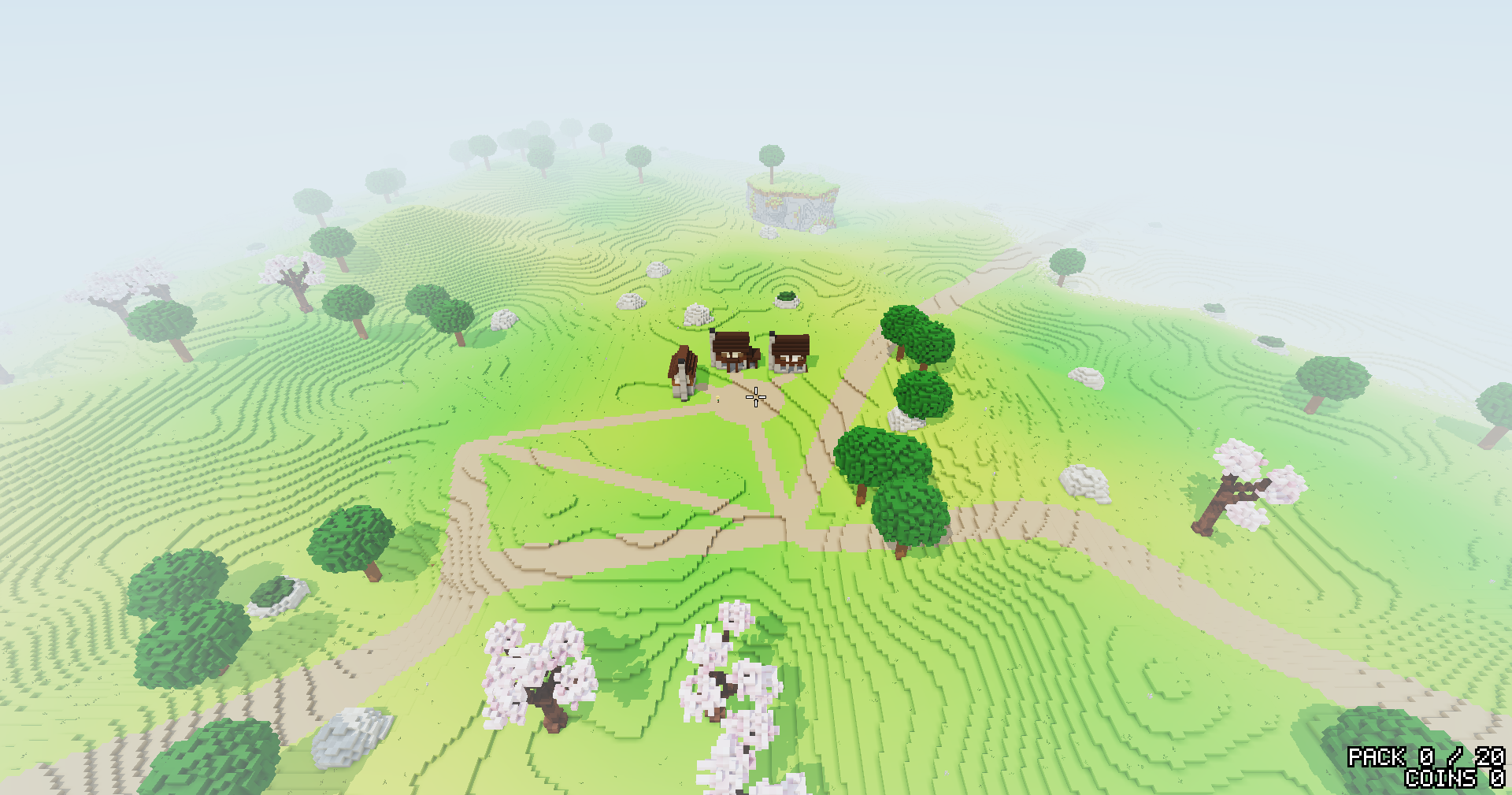
Roads between towns are now wide, like highways. As one reaches a town it narrows to the town's own road width and joins the streets facing it, and where a town has several, it forks to meet each of them.
A third tidy
A few fast days of building left the code harder to read, so the day ended with a cleanup. Going round the world, where the east edge meets the west, was worked out by hand in many places; it is now one shared rule. Code nothing used is gone, and comments that described code that has since moved on now say what is there. The worlds came out exactly the same as before, checked byte for byte.
Thoughts or feedback? I'd love to hear them at thewonjdev@gmail.com.