A map that looks more like a world
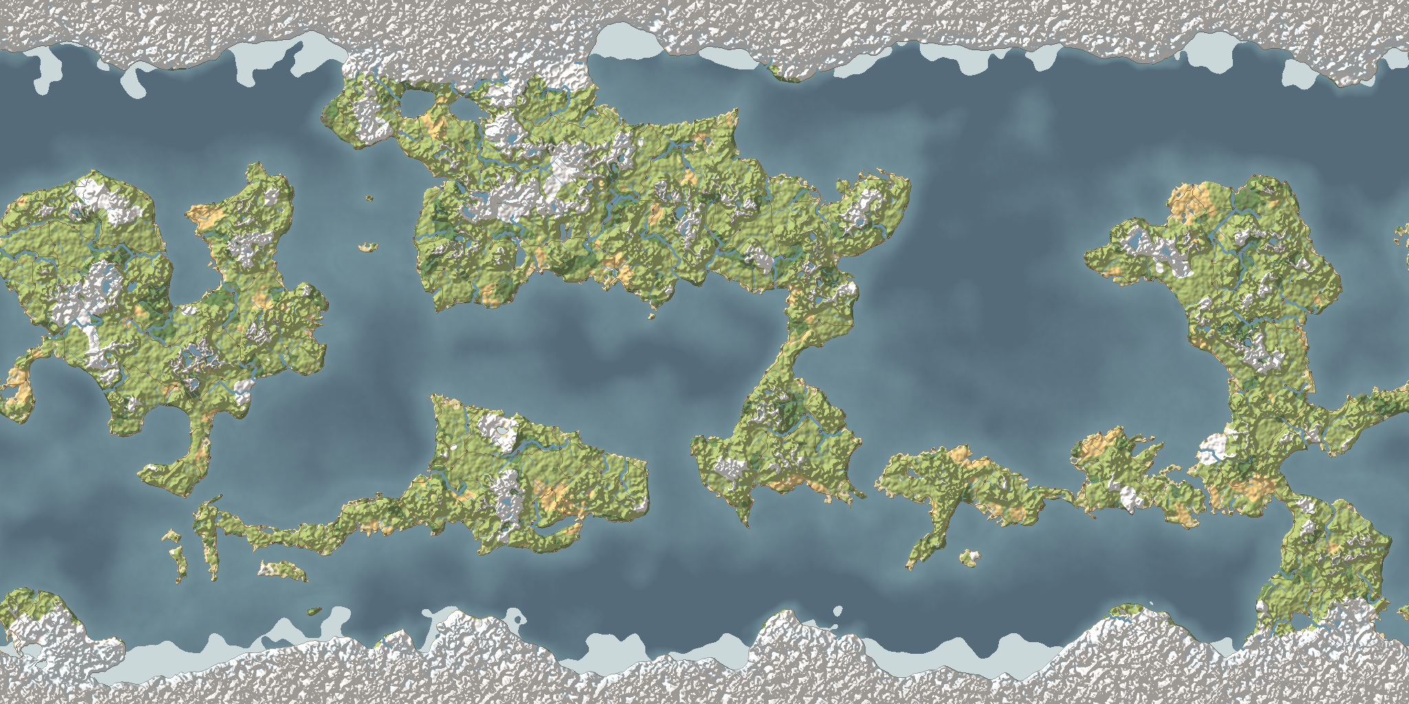
Another day on the world map, the first try at making the whole world from the top down. Today it grew a little more like Earth. It is still a first try, not the final world, and none of it is in the game yet.
Land by latitude
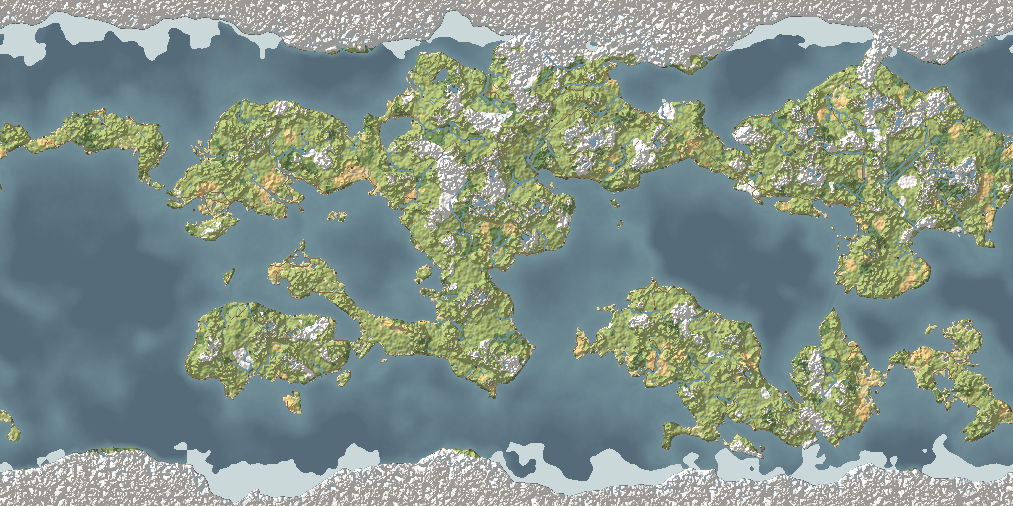
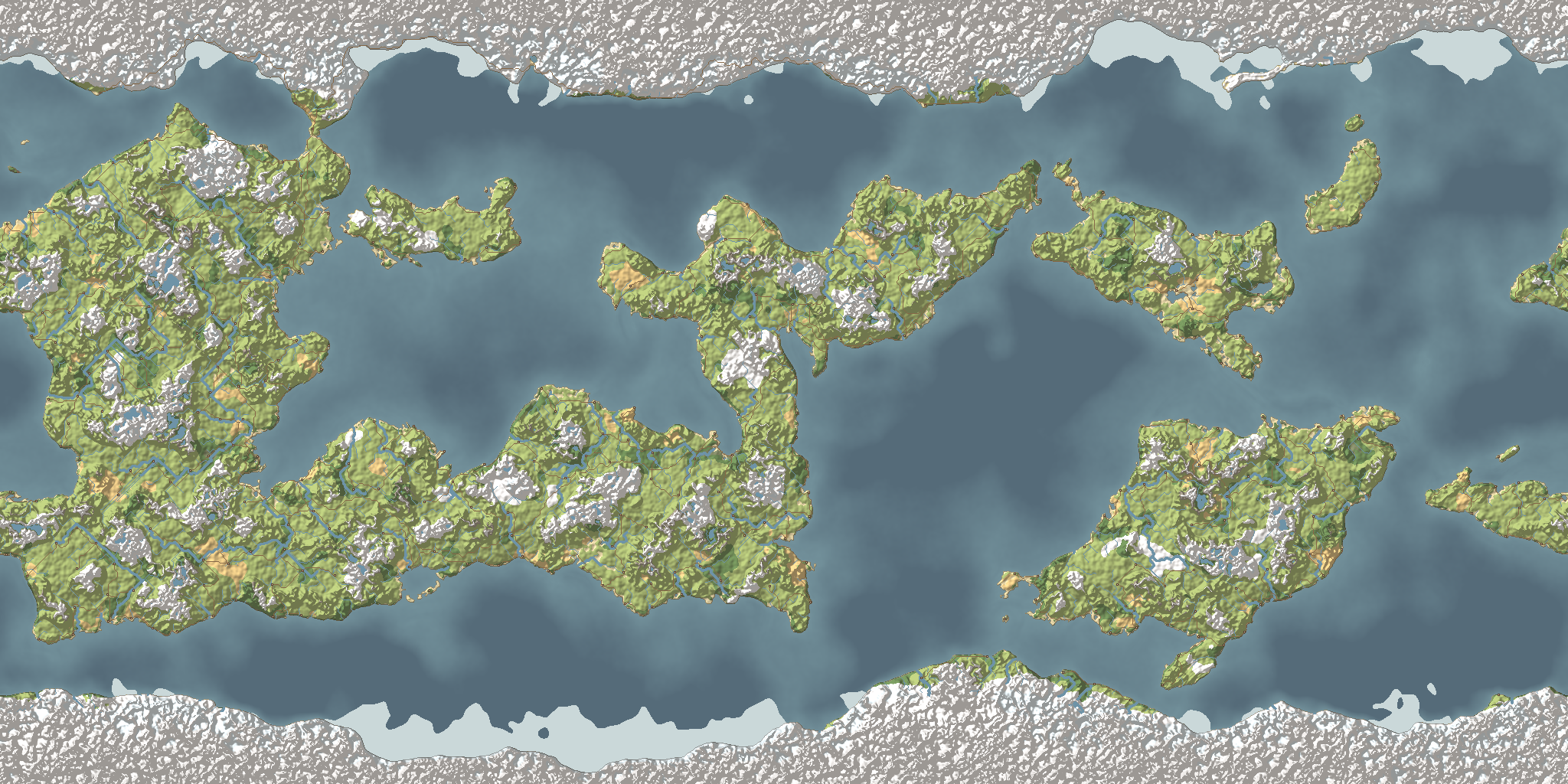
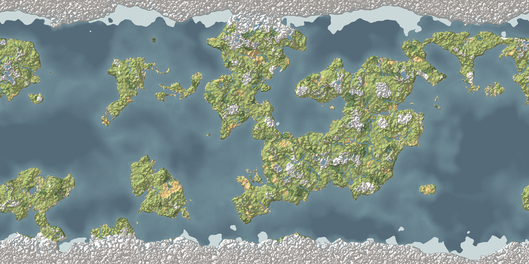
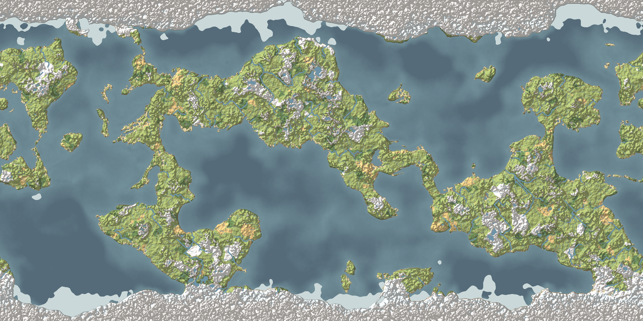
How much land there is now depends on how far north or south it lies. The far north and south are always land, cold and harsh, the ends of the world. Just inside them runs a band of mostly sea that cuts that polar land off from the rest. The most land sits in the tropics, with a little less at the equator.
The band's edge wanders, so there is never a straight line where the land stops.
Less swiss cheese
Yesterday's land was full of holes. Now the finest detail fades away from the coast: inland stays solid, and coasts stay ragged. A lake also needs a deeper hollow before it forms, so fewer small ponds pock the middle of a continent.
Here are all five worlds made today, as work in progress.
Plates, tried and taken out
Tectonic plates were tried too: the world split into cells, the cells grouped into plates, and mountains raised where plates meet. They replaced the mountains the map already had, and those looked better, so the plates came out again.
A quieter menu
In the game itself, the main menu lost its title for now. It is just Play, Settings and Quit over the world.
Thoughts or feedback? I'd love to hear them at thewonjdev@gmail.com.